

Civil & Site Engineering in Massachusetts
Civil & Site Engineering Services Prime Engineering provides full-service civil and site engineering solutions to help clients plan, design, …
Learn More
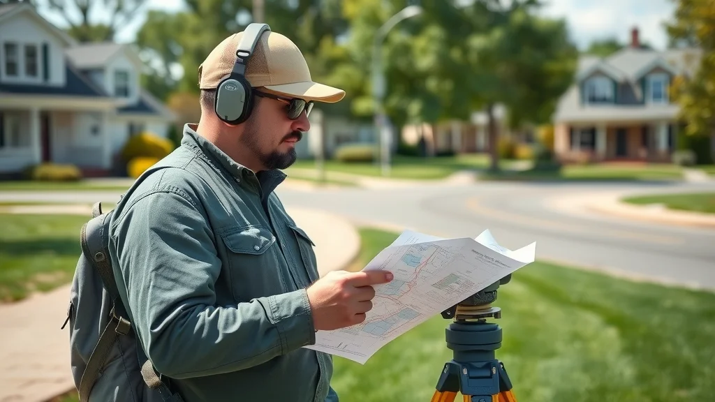
Professional Land Surveying Services in Massachusetts
Professional Land Surveying Services in Massachusetts At Prime Engineering, we provide full-service land surveying across Central, Southeastern, …
Learn More
Environmental Consulting & Remediation in Massachusetts
Environmental Consulting & Remediation Services Prime Engineering offers comprehensive environmental consulting and remediation services …
Learn More

Professional Land Surveying Services in Massachusetts
Professional Land Surveying Services in Massachusetts At Prime Engineering, we provide full-service land surveying across Central, Southeastern, …

ALTA/NSPS Land Title Surveys in Massachusetts
ALTA/NSPS Land Title Surveys Commercial and institutional projects demand precision, compliance, and reliability. Prime Engineering provides …

As-Built & Record Surveys in Massachusetts
As-Built & Record Survey Services Every project needs precise documentation at completion. Prime Engineering provides As-Built and Record …

Boundary & Property Line Surveys in Massachusetts
Boundary & Property Line Surveys Defining your property boundaries is the foundation of every successful project—whether you’re building, …

Permitting & Regulatory Coordination in Massachusetts
Permitting & Regulatory Coordination Services Navigating Massachusetts permitting requirements can be complex. Prime Engineering provides …

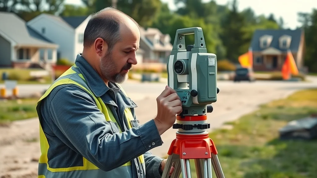
Construction Layout & Staking in Massachusetts
Construction Layout & Staking Services Accurate layout is critical to keeping your project on schedule and within tolerance. Prime Engineering …
Environmental Consulting & Remediation in Massachusetts
Environmental Consulting & Remediation Services Prime Engineering offers comprehensive environmental consulting and remediation services …
Civil & Site Engineering in Massachusetts
Civil & Site Engineering Services Prime Engineering provides full-service civil and site engineering solutions to help clients plan, design, …

Utility & Infrastructure Surveys in Massachusetts
Utility & Infrastructure Survey Services Utility and infrastructure projects demand accuracy, reliability, and coordination. Prime Engineering …
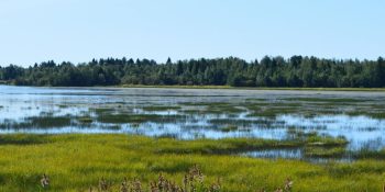
Wetland & Environmental Mapping in Massachusetts
Wetland & Environmental Mapping Services Environmental permitting in Massachusetts demands precision and regulatory awareness. Prime Engineering …

Topographic & Site Mapping in Massachusetts
Topographic & Site Mapping Services Topographic and site mapping is essential for any design, planning, or engineering project. Prime Engineering …

FEMA Elevation Certificates & Floodplain Mapping in Massachusetts
FEMA Elevation Certificates & Floodplain Mapping Services Floodplain compliance and accurate elevation data are critical for both safety …
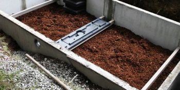
Septic System Design & Redesign in Massachusetts
Septic System Design & Redesign (Title 5 Engineering) Proper septic design is critical to protecting both property and the environment. Prime …

Solar Field Surveying & Civil Engineering in Massachusetts
Solar Field Surveying & Civil Engineering Solar development requires accuracy, coordination, and compliance. Prime Engineering provides specialized …

Worcester Property Surveys: What You Must Know Today
Did you know? More than 40% of property disputes in Worcester trace back to survey errors—often costing homeowners valuable time, money, and peace of mind Why Worcester Property Surveys Are Essential for Every Property Owner Whether you’re a longtime resident of Main Street or moving into a quiet corner near City Hall, a Worcester property...Continue reading→

Find Reliable Land Surveyors in Worcester Before It’s Too Late
Did you know that over 60% of real estate disputes in Worcester stem from missing or inaccurate land surveys? This staggering statistic underscores the critical role professional land surveyors in Worcester play in every property transaction Startling Facts About Land Surveyors in Worcester When it comes to property boundaries, there’s little room for error. A...Continue reading→

Why Topographic Surveys Worcester Are a Game Changer
Did you know that over 70% of development delays in Worcester can be related to insufficient land survey data? Topographic surveys Worcester are rapidly shifting the landscape for developers, engineers, and property investors alike Unveiling the Impact: Topographic Surveys Worcester and The Modern Landscape “Did you know that over 70% of development delays in...Continue reading→
Avoid Costly Disputes with Property Boundary Surveys Worcester
Did you know? According to the American Land Title Association, nearly 30% of property-related court cases in the United States arise from disputed property lines—and most could have been avoided with a professional property boundary survey Understanding Property Boundary Surveys Worcester: Secure Your Investment Property boundary surveys Worcester are your first and best defense against...Continue reading→

Trusted Land Surveying Services Worcester | Expert Land Surveyors & Engineering
Did you know that 75% of Worcester property disputes could be prevented with the right land surveying service? Whether you’re buying your first home, breaking ground on a new project, or protecting your property boundaries, precise land surveys are the foundation for secure transactions and peaceful neighborhoods Unlocking the Importance of Land Surveying Services Worcester:...Continue reading→

Real Estate Land Survey Secrets Every Buyer Must Know Lakeville, MA
Do you truly know where your Lakeville property begins—and where it ends? Imagine learning your dream home sits outside your legal boundary, or discovering an old fence encroaches on your neighbor’s lot. Before you invest, unlock the hidden world of real estate land survey secrets to ensure your Lakeville, MA property deal is built on...Continue reading→

Unlock Secrets of Worcester Land Surveys for Your Property
Did you know that “Over 65% of boundary disputes in Worcester originate from inaccurate or outdated land surveys,” according to the Massachusetts Surveying Society? Whether you’re buying, selling, developing, or simply securing your property, understanding Worcester land surveys is the key to protecting your assets Worcester Land Surveys: Why Accuracy Matters for Your Property A...Continue reading→
Avoid Overpaying: Know Existing Condition Survey Massachusetts Cost
Ever heard of homeowners or developers in Massachusetts facing budget blowouts over simple oversights? Here’s a startling truth: skipping or underestimating the cost of an existing condition survey can add more than 20% in unforeseen construction expenses—straining your project and peace of mind before you even break ground Revealing the Truth About Existing Condition Survey...Continue reading→

Land Survey for Construction: Don’t Start Without This Step Lakeville, MA
Startling Fact: According to the Massachusetts Board of Registration of Professional Engineers and Land Surveyors, over 50% of construction project delays are due to inadequate land survey planning and documentation. Whether you’re a homeowner planning an addition or a developer breaking ground on a major site in Lakeville, the very first step in the construction...Continue reading→
Surveying Company Near Me? Here’s How to Pick the Best Lakeville, MA
Startling fact: Did you know nearly 30% of Massachusetts development delays are due to land survey issues? Choosing the right surveying company near me is more critical than ever—mistakes in boundary lines, misunderstanding state regulations, or selecting an underqualified land surveyor could stall your project for weeks or cost you thousands. Whether you’re a homeowner,...Continue reading→


Prime Engineering
A multi-disciplinary firm providing integrated engineering, environmental, and survey solutions of the highest quality.
Worcester Property Surveys: What You Must Know Today
primeengineering.org/worcester-property-surveys-what-you-must-know-today/
0 CommentsComment on Facebook

Find Reliable Land Surveyors in Worcester Before It’s Too Late
primeengineering.org/find-reliable-land-surveyors-in-worcester-before-its-too-late/
0 CommentsComment on Facebook
Why Topographic Surveys Worcester Are a Game Changer
primeengineering.org/why-topographic-surveys-worcester-are-a-game-changer/
1 CommentsComment on Facebook